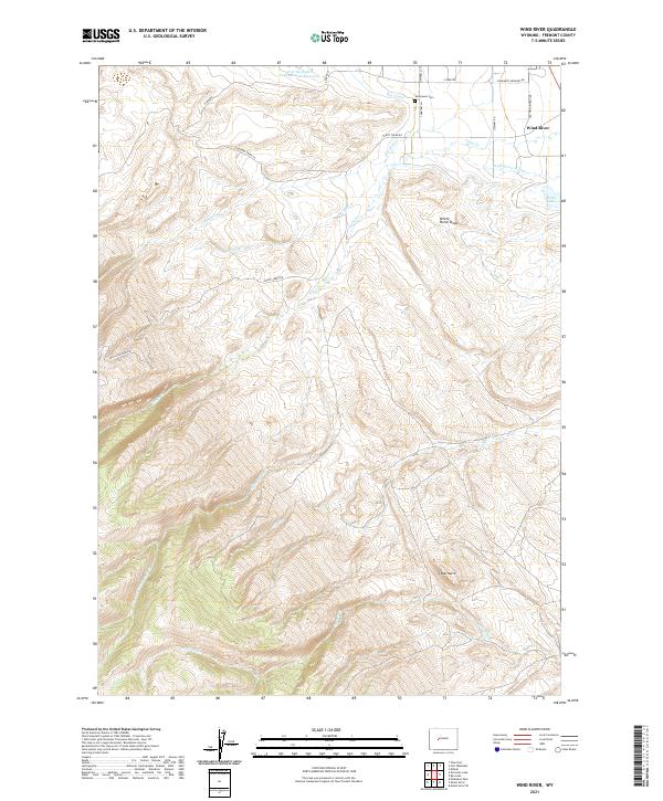
2021 Map of Wind River
USGS Topo · Published 2021About this map
Sacajawea Cem sits near the northern boundary of this landscape in the Wind River Range foothills, a notable site of local heritage. The terrain is defined by a series of drainages, including Trout Cr and Crooked Cr, which feed toward the Ray Canal and the Fort Washakie Underground Reservoir. This 2021 survey illustrates a sophisticated network of water management and rural access roads like Trout Creek Rd and Moccasin Lake Rd that navigate the high-elevation relief. Geologic features such as White Horse Draw and Cedar Butte punctuate the landscape, while low-lying areas are marked by Dead Horse Slough and Alkali Lake. The distribution of named creeks like Mill Cr and Surrell Cr suggests a persistent reliance on seasonal water flow in this arid Wyoming environment.
Find a feature on this map
26 named features on this map. Tap any name to fly to it.
Don’t see what you’re looking for? This feature index may not catch every label — zoom into the map to look around manually.
Map Details
Editions of this 2021 Wind River Map
This is the sole edition of this map. No revisions or reprints were ever made.
Other maps of this area

1937 · Moccasin Lake
USGS Topo · 1:48,000

1943 · Moccasin Lake
USGS Topo · 1:62,500

1951 · Fort Washakie
USGS Topo · 1:24,000

1951 · Ethete
USGS Topo · 1:24,000

1952 · Wise Flat
USGS Topo · 1:24,000

1952 · Ray Lake
USGS Topo · 1:24,000

1952 · Wind River
USGS Topo · 1:24,000

1953 · Mount Arter
USGS Topo · 1:24,000

1953 · Mount Arter SE
USGS Topo · 1:24,000

1955 · Thermopolis
USGS Topo · 1:250,000