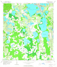
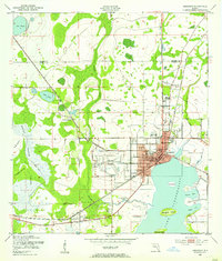
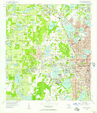
1953 Map of Windermere
USGS Topo · Published 1965About this map
Windermere sits at the heart of this lake-strewn Florida landscape, positioned on the narrow isthmus between Lake Butler and Lake Down. Surveyed in the early 1950s, the map reveals a region defined by its vast citrus groves and interconnected water bodies before the era of major theme park development. The Atlantic Coast Line railroad runs through the eastern portion of the quadrangle, serving the local agriculture and the small settlement at Doctor Phillips.
Find a feature on this map
41 named features on this map. Tap any name to fly to it.
Don’t see what you’re looking for? This feature index may not catch every label — zoom into the map to look around manually.
Map Details
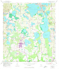
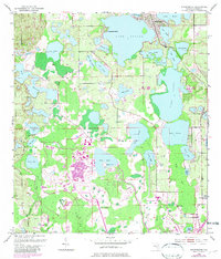
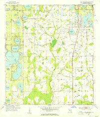
Editions of this 1953 Windermere Map
4 editions found
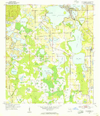
Other maps of this area
1953 · Lake Jessamine
USGS Topo · 1:24,000
1953 · Kissimmee
USGS Topo · 1:24,000
1953 · Windermere
USGS Topo · 1:24,000
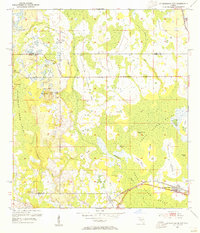
1953 · Intercession City
USGS Topo · 1:24,000

1955 · Orlando
USGS Topo · 1:250,000
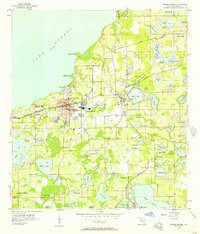
1956 · Winter Garden
USGS Topo · 1:24,000
1956 · Orlando West
USGS Topo · 1:24,000

1957 · Orlando
USGS Topo · 1:250,000

1958 · Orlando
USGS Topo · 1:250,000
1959 · Lake Louisa
USGS Topo · 1:24,000