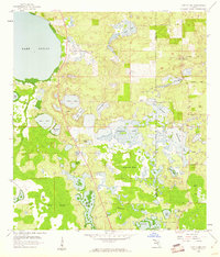
1953 Map of Windermere
USGS Topo · Published 1972About this map
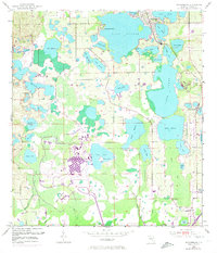
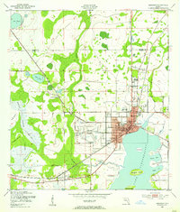
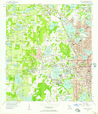
Walt Disney World takes center stage in this 1970 revision, showcasing the early layout of the park including the Monorail loop and parking areas just south of Bay Lake. This era represents a significant transition for Orange County, where large-scale development began to intersect with the region's traditional citrus and lake-front landscape. To the north, the established town of Windermere remains situated between Lake Down and Lake Butler, while the eastern portion of the map shows the burgeoning area of Doctor Phillips. The intricate network of lakes, including Lake Tibet and Lake Sheen, are connected by creeks like Cypress Creek, reflecting the natural drainage patterns of the Florida peninsula before the massive suburban expansions of the late 20th century. Transportation infrastructure is represented by the Seaboard Coast Line and an Old Railroad Grade near Vineland.
Find a feature on this map
48 named features on this map. Tap any name to fly to it.
Don’t see what you’re looking for? This feature index may not catch every label — zoom into the map to look around manually.
Map Details
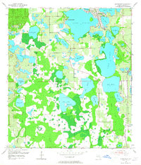
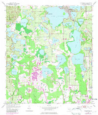
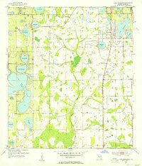
Editions of this 1953 Windermere Map
4 editions found
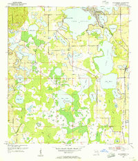
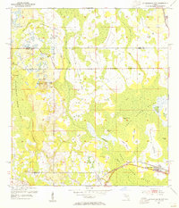
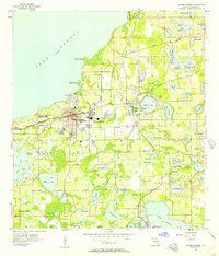
Other maps of this area
1953 · Lake Jessamine
USGS Topo · 1:24,000
1953 · Kissimmee
USGS Topo · 1:24,000
1953 · Windermere
USGS Topo · 1:24,000
1953 · Intercession City
USGS Topo · 1:24,000

1955 · Orlando
USGS Topo · 1:250,000
1956 · Winter Garden
USGS Topo · 1:24,000
1956 · Orlando West
USGS Topo · 1:24,000

1957 · Orlando
USGS Topo · 1:250,000

1958 · Orlando
USGS Topo · 1:250,000
1959 · Lake Louisa
USGS Topo · 1:24,000