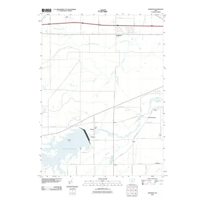
2010 Map of Windham
USGS Topo · Published 2010About this map
Michael J Kirwan Reservoir dominates the southwestern portion of this landscape, its waters contained by the Michael J Kirwan Dam. The surrounding topography is defined by the winding course of the West Branch Mahoning River and the small settlements that dot the rural intersections. Settlements like Wayland, Paris, and McClintocksburg appear as clusters of activity, with the Wayland Post Office serving as a local anchor near the reservoir's edge.
Find a feature on this map
42 named features on this map. Tap any name to fly to it.
Don’t see what you’re looking for? This feature index may not catch every label — zoom into the map to look around manually.
Map Details
Editions of this 2010 Windham Map
This is the sole edition of this map. No revisions or reprints were ever made.
Other maps of this area

1905 · Bristolville
USGS Topo · 1:62,500

1905 · Garrettsville
USGS Topo · 1:62,500

1906 · Ravenna
USGS Topo · 1:62,500

1907 · Bristolville
USGS Topo · 1:62,500

1907 · Garrettsville
USGS Topo · 1:62,500

1908 · Warren
USGS Topo · 1:62,500

1908 · Ravenna
USGS Topo · 1:62,500

1950 · Cleveland
USGS Topo · 1:250,000

1952 · Lake Milton
USGS Topo · 1:24,000

1952 · Southington
USGS Topo · 1:24,000