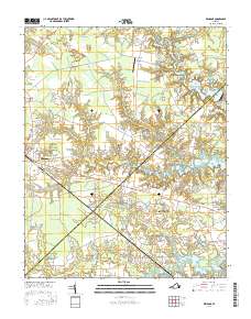
2016 Map of Windsor
USGS Topo · Published 2016About this map
The town of Windsor serves as a central hub on this map, situated where major roadways intersect amid the low-lying wetlands of southeast Virginia. The landscape is defined by extensive pocosin and swamp systems, such as the String of Logs Pocosin and Carbell Swamp, which feed into a complex network of millponds and reservoirs including Prudens Millpond and the expansive Lake Prince. These water bodies are not only geographic landmarks but also reflect the historical reliance on water management for local industry and later municipal water supplies.
Find a feature on this map
97 named features on this map. Tap any name to fly to it.
Don’t see what you’re looking for? This feature index may not catch every label — zoom into the map to look around manually.
Map Details
Editions of this 2016 Windsor Map
This is the sole edition of this map. No revisions or reprints were ever made.
Other maps of this area

1919 · Smithfield
USGS Topo · 1:62,500

1919 · Suffolk
USGS Topo · 1:62,500

1920 · Holland
USGS Topo · 1:62,500

1920 · Ivor
USGS Topo · 1:62,500

1943 · Holland
USGS Topo · 1:62,500

1944 · Windsor
USGS Topo · 1:31,680

1944 · Smithfield
USGS Topo · 1:24,000

1944 · Raynor
USGS Topo · 1:24,000

1944 · Zuni
USGS Topo · 1:24,000

1945 · Zuni
USGS Topo · 1:31,680