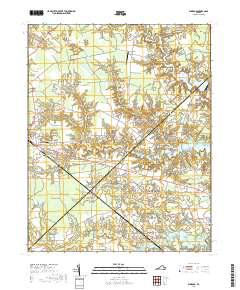
2019 Map of Windsor
USGS Topo · Published 2019About this map
The town of Windsor serves as a central hub in this section of Isle of Wight County, where the coastal plain landscape is defined by an intricate network of wetlands and millponds. Low-lying areas like the String of Logs Pocosin and Eley Swamp illustrate the hydraulic character of the region, while man-made water features such as Murphys Millpond and Prudens Millpond point to historical water-management and milling legacies. To the east, the landscape transitions into the outskirts of Suffolk, marked by the community of Kings Fork and the Providence Church. Genealogy researchers will find significant value in the numerous burial sites documented here, including the Albert G Horton Junior Memorial Veterans Cem, Windsor Cem, and several smaller family-named plots like Tyler Cem and Oliver Cem scattered near the settlements of Indika and Myrtle.
Find a feature on this map
96 named features on this map. Tap any name to fly to it.
Don’t see what you’re looking for? This feature index may not catch every label — zoom into the map to look around manually.
Map Details
Editions of this 2019 Windsor Map
This is the sole edition of this map. No revisions or reprints were ever made.
Other maps of this area

1919 · Smithfield
USGS Topo · 1:62,500

1919 · Suffolk
USGS Topo · 1:62,500

1920 · Holland
USGS Topo · 1:62,500

1920 · Ivor
USGS Topo · 1:62,500

1943 · Holland
USGS Topo · 1:62,500

1944 · Windsor
USGS Topo · 1:31,680

1944 · Smithfield
USGS Topo · 1:24,000

1944 · Raynor
USGS Topo · 1:24,000

1944 · Zuni
USGS Topo · 1:24,000

1945 · Zuni
USGS Topo · 1:31,680