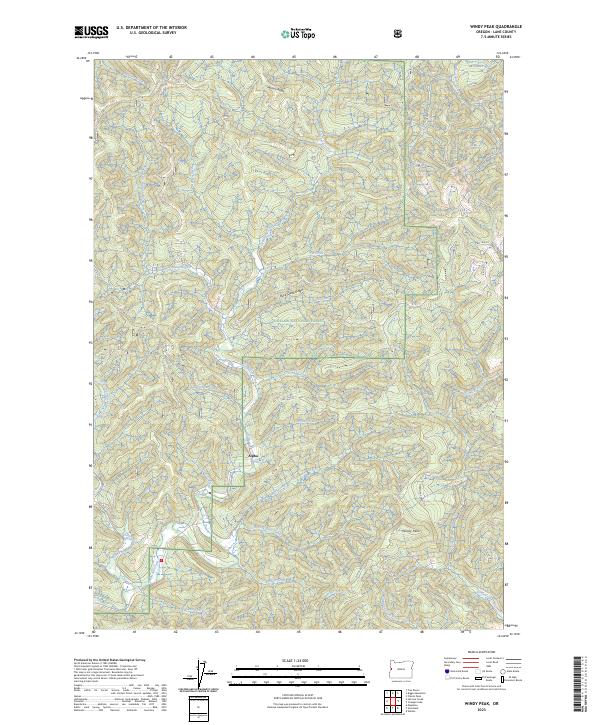
2023 Map of Windy Peak
USGS Topo · Published 2023About this map
Alpha sits at a remote nexus of forest service roads and drainage systems within the sprawling Siuslaw National Forest. This 2023 survey documents a landscape defined by the deep dissection of the Coast Range, where prominent features like Windy Peak and Buck Creek Ridge separate numerous tributaries. The drainage pattern is particularly dense here, with Alpha Creek and Deadwood Creek carving through the timberlands. In the northeast corner, the Lobster Creek Wild and Scenic River marks a protected corridor of significant environmental and recreational value.
Find a feature on this map
49 named features on this map. Tap any name to fly to it.
Don’t see what you’re looking for? This feature index may not catch every label — zoom into the map to look around manually.
Map Details
Editions of this 2023 Windy Peak Map
This is the sole edition of this map. No revisions or reprints were ever made.
Other maps of this area

1918 · Mapleton
USGS Topo · 1:48,000

1940 · Mapleton
USGS Topo · 1:62,500

1941 · Blachly
USGS Topo · 1:62,500

1942 · Alsea
USGS Topo · 1:62,500

1942 · Blachly
USGS Topo · 1:62,500

1942 · Tidewater
USGS Topo · 1:62,500

1945 · Mapleton
USGS Topo · 1:62,500

1953 · Salem
USGS Topo · 1:250,000

1954 · Salem
USGS Topo · 1:250,000

1956 · Alsea
USGS Topo · 1:62,500