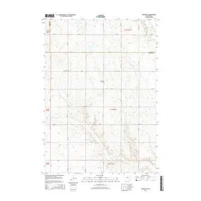
2015 Map of Winfred SE
USGS Topo · Published 2015About this map
The Coteau des Prairies plateau defines the undulating landscape of this eastern South Dakota quadrangle, where the headwaters of the Little Vermillion River and the E Fork Vermillion River drain the glacial terrain. In this corner of Richland Township, the map reveals a highly structured grid of section lines and gravel roads, such as 442nd Ave and 244th St, which serve a distributed agricultural community. A key landmark for local history and genealogy is the Salem Lutheran Cem, situated near the intersection of 443rd Ave and 245th St. This survey documents the intersection of three counties—Miner, Lake, and McCook—capturing the rural character of the region as it appeared in the mid-2010s, defined by its small-scale watercourses and persistent land-use patterns established over a century prior.
Find a feature on this map
28 named features on this map. Tap any name to fly to it.
Don’t see what you’re looking for? This feature index may not catch every label — zoom into the map to look around manually.
Map Details
Editions of this 2015 Winfred SE Map
This is the sole edition of this map. No revisions or reprints were ever made.
Other maps of this area

1955 · Sioux Falls
USGS Topo · 1:250,000

1958 · Sioux Falls
USGS Topo · 1:250,000

1964 · Montrose
USGS Topo · 1:24,000

1964 · Salem NE
USGS Topo · 1:24,000

1964 · Salem
USGS Topo · 1:24,000

1968 · Lake Madison SW
USGS Topo · 1:24,000

1968 · Lake Herman
USGS Topo · 1:24,000
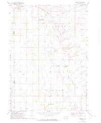
1971 · Winfred
USGS Topo · 1:24,000
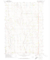
1971 · Canova East
USGS Topo · 1:24,000

1971 · Unityville
USGS Topo · 1:24,000
Featured Places
- Richland Township, SD
- Sun Prairie Township, SD
- Clarno Township, SD
- Vermillion Township, SD
- Salem Township, SD