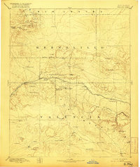
1892 Map of Wingate
USGS Topo · Published 1916About this map
Fort Wingate serves as a central anchor in this late nineteenth-century landscape, situated along a vital transportation corridor defined by the Atlantic and Pacific Railroad. The rail line connects several early settlements including Gallup, Coolidge, and Manuelito, while local Coal deposits near Gallup point to the emerging industrial character of the region. The map highlights the intersection of military, indigenous, and settler presence, clearly marking the Navajo Indian Res. Line and established communities such as Zuni and Old Zuni.
Find a feature on this map
61 named features on this map. Tap any name to fly to it.
Don’t see what you’re looking for? This feature index may not catch every label — zoom into the map to look around manually.
Map Details
Editions of this 1892 Wingate Map
4 editions found
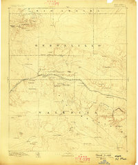
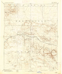
Other maps of this area

1883 · Mt. Taylor
USGS Topo · 1:250,000

1886 · St Johns
USGS Topo · 1:250,000

1886 · Wingate
USGS Topo · 1:250,000

1886 · Mt. Taylor
USGS Topo · 1:250,000

1886 · Fort Defiance
USGS Topo · 1:250,000

1889 · Largo
USGS Topo · 1:250,000

1889 · Chaco
USGS Topo · 1:250,000

1892 · Fort Defiance
USGS Topo · 1:250,000

1892 · St Johns
USGS Topo · 1:250,000

1892 · Wingate
USGS Topo · 1:250,000
Featured Places
- Gallup, NM
- Fort Defiance Agency
- Eastern Navajo Agency, NM
- Crownpoint, Eastern Navajo Agency
- Tohatchi, Fort Defiance Agency