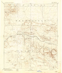
1892 Map of Wingate
USGS Topo · Published 1937About this map
Fort Wingate serves as a central landmark in this late 19th-century survey of western New Mexico, situated along the vital corridor of the Atlantic and Pacific Railroad. This transportation artery connects a series of emerging rail settlements such as Gallup, Manuelito, and Coolidge, while weaving through a landscape defined by significant cultural and geological markers. The presence of Old Zuni and the modern Zuni pueblo near the Zuni Buttes reflects the deep indigenous heritage of the region, further evidenced by the Navajo Indian Res. Line and the historic Inscription Rock. The map illustrates a transitional era where military outposts and coal mining operations near Gallup coexist with traditional ranching at spots like Milk Ranch and Crane Ranch. Notable terrain features like Navajo Church and the peaks of the Chuska Mountains provide orientation across the high plateau country of Bernalillo and Valencia counties.
Find a feature on this map
60 named features on this map. Tap any name to fly to it.
Don’t see what you’re looking for? This feature index may not catch every label — zoom into the map to look around manually.
Map Details
Editions of this 1892 Wingate Map
4 editions found
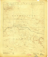
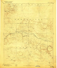
Other maps of this area

1883 · Mt. Taylor
USGS Topo · 1:250,000

1886 · St Johns
USGS Topo · 1:250,000

1886 · Wingate
USGS Topo · 1:250,000

1886 · Mt. Taylor
USGS Topo · 1:250,000

1886 · Fort Defiance
USGS Topo · 1:250,000

1889 · Largo
USGS Topo · 1:250,000

1889 · Chaco
USGS Topo · 1:250,000

1892 · Fort Defiance
USGS Topo · 1:250,000

1892 · St Johns
USGS Topo · 1:250,000

1892 · Wingate
USGS Topo · 1:250,000
Featured Places
- Gallup, NM
- Fort Defiance Agency
- Eastern Navajo Agency, NM
- Crownpoint, Eastern Navajo Agency
- Tohatchi, Fort Defiance Agency