2024 Map of Winnebago
USGS Topo · Published 2024About this map
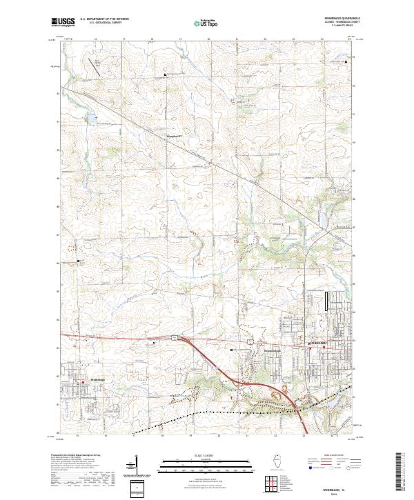
Wempletown and the village of Winnebago anchor this portion of the northern Illinois prairie, where the landscape is defined by the branching tributaries of the Rock River. Small watercourses like Tunnison Creek and North Fork Kent Creek drain the agricultural land between historic family cemeteries and rural road junctions. The map highlights the western expansion of Rockford, with the residential neighborhood of Westmoreland and the recreation areas at Levings Lake Park and Stanfield Beach serving as a threshold between the urban center and the outlying townships.
Find a feature on this map
30 named features on this map. Tap any name to fly to it.
Don’t see what you’re looking for? This feature index may not catch every label — zoom into the map to look around manually.
Map Details
Editions of this 2024 Winnebago Map
This is the sole edition of this map. No revisions or reprints were ever made.
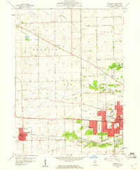
Historical Maps of Nottingham Manor Through Time
3 maps found

Featured Locations
- Rockford Township, IL
- Winnebago Township, IL
- Rockford, Rockford Township
- Nottingham Manor, Owen Township
- Winnebago, Winnebago Township