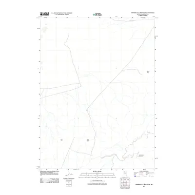
2011 Map of Winnemucca Mountain
USGS Topo · Published 2011About this map
Winnemucca Mountain rises in the southeast corner of this Nevada landscape, anchoring a high-desert terrain defined by prominent volcanic and geological formations. The area is characterized by isolated peaks and ridges, including the distinct Black Butte and the Krum Hills situated to the west. This 2011 survey illustrates a sparse infrastructure where travel is dictated by the natural corridors of the Great Basin, with Sand Pass Rd providing passage through the Sand Pass in the northeast. The map provides a clear record of the drainage patterns and topography surrounding these landmarks in Humboldt County during the early 21st century.
Find a feature on this map
5 named features on this map. Tap any name to fly to it.
Don’t see what you’re looking for? This feature index may not catch every label — zoom into the map to look around manually.
Map Details
Editions of this 2011 Winnemucca Mountain Map
This is the sole edition of this map. No revisions or reprints were ever made.
Other maps of this area

1882 · Paradise
USGS Topo · 1:250,000

1893 · Paradise
USGS Topo · 1:250,000

1932 · Sonoma Range
USGS Topo · 1:250,000

1939 · Sonoma Range
USGS Topo · 1:250,000

1955 · McDermitt
USGS Topo · 1:250,000

1955 · Winnemucca
USGS Topo · 1:250,000

1958 · Winnemucca
USGS Topo · 1:250,000

1958 · Winnemucca
USGS Topo · 1:62,500

1958 · Rose Creek
USGS Topo · 1:62,500

1959 · McDermitt
USGS Topo · 1:250,000