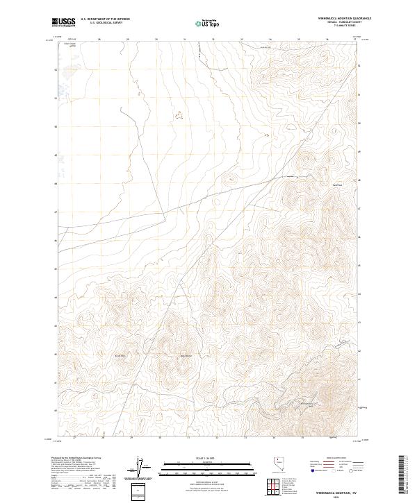
2021 Map of Winnemucca Mountain
USGS Topo · Published 2021About this map
The Winnemucca Mtn highpoint overlooks a landscape defined by Great Basin topography and the arid drainage patterns of Humboldt County. This region serves as a rugged backdrop to the north of the Humboldt River corridor, where the Krum Hills and Black Butte rise above the surrounding sagebrush flats. The map illustrates a network of essential access routes through this demanding terrain, including Sand Pass Rd and Winnemucca Mtn Rd, which navigate the elevation changes near Sand Pass.
Find a feature on this map
16 named features on this map. Tap any name to fly to it.
Don’t see what you’re looking for? This feature index may not catch every label — zoom into the map to look around manually.
Map Details
Editions of this 2021 Winnemucca Mountain Map
This is the sole edition of this map. No revisions or reprints were ever made.
Other maps of this area

1882 · Paradise
USGS Topo · 1:250,000

1893 · Paradise
USGS Topo · 1:250,000

1932 · Sonoma Range
USGS Topo · 1:250,000

1939 · Sonoma Range
USGS Topo · 1:250,000

1955 · McDermitt
USGS Topo · 1:250,000

1955 · Winnemucca
USGS Topo · 1:250,000

1958 · Winnemucca
USGS Topo · 1:250,000

1958 · Winnemucca
USGS Topo · 1:62,500

1958 · Rose Creek
USGS Topo · 1:62,500

1959 · McDermitt
USGS Topo · 1:250,000