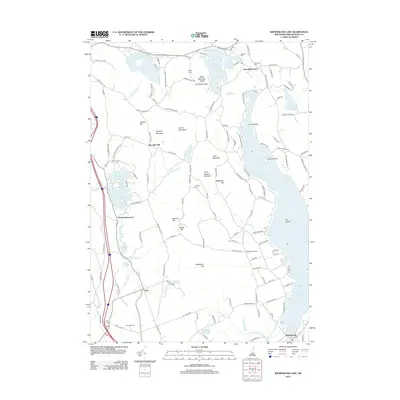
2012 Map of Winnisquam Lake
USGS Topo · Published 2012About this map
Lake Winnisquam and its intricate shoreline dominate the eastern portion of this New Hampshire landscape, where the settlements of Winnisquam and Meredith Center serve as local anchors. The terrain is a network of hills and small basins, including Snow Dragon Mountain and Saddle Hill, which direct the flow of numerous waterways like Salmon Brook and Hermit Brook. Local history is deeply embedded in the land through scattered family-named landmarks such as Surowiec Farm and Crocketts Ledge. The map reveals a high density of historical burial grounds, including Oakland Cem, Robinson Cem, and Union Cem, often located near early community nodes. The presence of the Bay Meetinghouse further illustrates the established social fabric of this rural area. This 2012 survey captures the modern road network, including Old Route 104, laid over an older geography of named hills and ponds.
Find a feature on this map
140 named features on this map. Tap any name to fly to it.
Don’t see what you’re looking for? This feature index may not catch every label — zoom into the map to look around manually.
Map Details
Editions of this 2012 Winnisquam Lake Map
This is the sole edition of this map. No revisions or reprints were ever made.
Other maps of this area

1909 · Winnepesaukee
USGS Topo · 1:62,500

1919 · Gilmanton
USGS Topo · 1:62,500

1925 · Holderness
USGS Topo · 1:62,500

1927 · Penacook
USGS Topo · 1:62,500

1927 · Gilmanton
USGS Topo · 1:62,500

1927 · Holderness
USGS Topo · 1:62,500

1949 · Portland
USGS Topo · 1:250,000

1956 · Winnipesaukee
USGS Topo · 1:62,500

1956 · Penacook
USGS Topo · 1:62,500

1956 · Holderness
USGS Topo · 1:62,500