
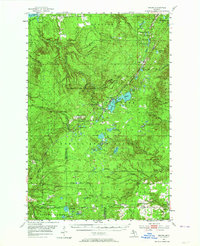
1954 Map of Winona
USGS Topo · Published 1956About this map
The copper-rich landscape of Houghton County and the Greenland Range are captured here in the mid-1950s, defined by its active mining history and managed forests. Industrial remnants and active sites such as the Winona Mine, Shawmut Mine, and Indiana Mine are prominent alongside extensive Tailings and Gravel Pits, illustrating the area's geological economy. The settlement patterns follow the drainages and rail corridors, with towns like Winona, Donken, and Nisula serving as local hubs.
Find a feature on this map
65 named features on this map. Tap any name to fly to it.
Don’t see what you’re looking for? This feature index may not catch every label — zoom into the map to look around manually.
Map Details
Editions of this 1954 Winona Map
3 editions found
Other maps of this area

1915 · Houghton
USGS Topo · 1:62,500

1946 · South Range
USGS Topo · 1:24,000

1948 · South Range
USGS Topo · 1:24,000

1949 · Rockland
USGS Topo · 1:62,500

1950 · Greenland
USGS Topo · 1:62,500

1951 · Rockland
USGS Topo · 1:62,500

1951 · Greenland
USGS Topo · 1:62,500

1954 · Graveraet River
USGS Topo · 1:24,000

1954 · Rousseau
USGS Topo · 1:62,500

1954 · Rockhouse Point
USGS Topo · 1:24,000