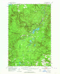
1954 Map of Winona
USGS Topo · Published 1964About this map
Copper mining heritage and the vast timberlands of the Keweenaw Peninsula define this mid-century landscape in the Ottawa National Forest and Baraga State Forest. The settlement of Winona serves as a central hub, flanked by the Winona Mine and Shawmut Mine, reflecting the region's deep industrial roots. The landscape is interconnected by the State Grade and an Old Railroad Grade, tracing the paths of former logging and ore transport lines through townships like Elm River and Laird.
Find a feature on this map
60 named features on this map. Tap any name to fly to it.
Don’t see what you’re looking for? This feature index may not catch every label — zoom into the map to look around manually.
Map Details
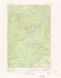
Editions of this 1954 Winona Map
3 editions found

Other maps of this area

1915 · Houghton
USGS Topo · 1:62,500

1946 · South Range
USGS Topo · 1:24,000

1948 · South Range
USGS Topo · 1:24,000

1949 · Rockland
USGS Topo · 1:62,500

1950 · Greenland
USGS Topo · 1:62,500

1951 · Rockland
USGS Topo · 1:62,500

1951 · Greenland
USGS Topo · 1:62,500

1954 · Graveraet River
USGS Topo · 1:24,000

1954 · Rousseau
USGS Topo · 1:62,500

1954 · Rockhouse Point
USGS Topo · 1:24,000