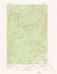
1954 Map of Winona
USGS Topo · Published 1977About this map
The industrial legacy of the Copper Country is etched across this mid-century landscape along the Copper Range Railroad. At the center of this activity lies Winona, where the Winona Mine and Indiana Mine are situated near the banks of Winona Lake. Further north, the Shawmut Mine and the Shawmut Creek drainage reflect the intensive mineral exploration that defined this portion of the Upper Peninsula. These mining sites are connected by a network of rail lines and an old railroad grade, illustrating the transition of the region's transport infrastructure as the era of heavy mining evolved.
Find a feature on this map
58 named features on this map. Tap any name to fly to it.
Don’t see what you’re looking for? This feature index may not catch every label — zoom into the map to look around manually.
Map Details
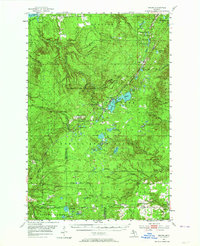
Editions of this 1954 Winona Map
3 editions found

Other maps of this area

1915 · Houghton
USGS Topo · 1:62,500

1946 · South Range
USGS Topo · 1:24,000

1948 · South Range
USGS Topo · 1:24,000

1949 · Rockland
USGS Topo · 1:62,500

1950 · Greenland
USGS Topo · 1:62,500

1951 · Rockland
USGS Topo · 1:62,500

1951 · Greenland
USGS Topo · 1:62,500

1954 · Graveraet River
USGS Topo · 1:24,000

1954 · Rousseau
USGS Topo · 1:62,500

1954 · Rockhouse Point
USGS Topo · 1:24,000