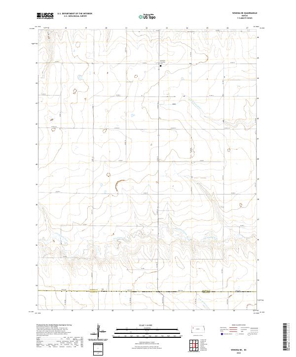
2022 Map of Winona NE
USGS Topo · Published 2022About this map
Summers Township Cem serves as a lone landmark in the high plains of northwest Kansas, situated near the northern edge of this township boundary. The landscape is defined by the headwaters of several drainage systems, most notably the winding paths of the N Fork Saline River and the S Fork Saline River. These waterways carve subtle relief into the terrain as they flow eastward, creating a distinct contrast with the rigid grid of county roads such as Co RD H and Co RD 19.
Find a feature on this map
33 named features on this map. Tap any name to fly to it.
Don’t see what you’re looking for? This feature index may not catch every label — zoom into the map to look around manually.
Map Details
Editions of this 2022 Winona NE Map
This is the sole edition of this map. No revisions or reprints were ever made.
Other maps of this area

1943 · Colby
USGS Topo · 1:62,500

1954 · Goodland
USGS Topo · 1:250,000

1956 · Goodland
USGS Topo · 1:250,000

1957 · Goodland
USGS Topo · 1:250,000

1967 · Colby SE
USGS Topo · 1:24,000

1967 · Colby SW
USGS Topo · 1:24,000

1972 · Monument
USGS Topo · 1:24,000
1972 · Winona
USGS Topo · 1:24,000

1972 · Winona NE
USGS Topo · 1:24,000
1972 · Winona NW
USGS Topo · 1:24,000