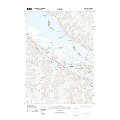
2013 Map of Winona West
USGS Topo · Published 2013About this map
The Mississippi River forms a complex maze of side channels and backwaters northwest of Winona in this 2013 survey. This riparian landscape is defined by numerous islands and sloughs, including Paddlefish Island, Turtle Island, and Blackbird Slough, which separate the main river from the developed shores of Goodview and Minnesota City. The industrial and residential grid of Winona is centered between the river and the bluffs, with institutional anchors like Winona State Univ and Saint Mary's Univ Of Minnesota clearly delineated. Topographically, the area is dominated by the steep ascent from the river valley to landmarks such as Sugarloaf and Stockton Hill, while the Gilmore Valley Watershed carves into the southwestern uplands. The presence of Lake Winona and the Westfield Golf Course provides a transition between the urban center and the rising terrain of Hart Hill and Gilmore Valley.
Find a feature on this map
110 named features on this map. Tap any name to fly to it.
Don’t see what you’re looking for? This feature index may not catch every label — zoom into the map to look around manually.
Map Details
Editions of this 2013 Winona West Map
This is the sole edition of this map. No revisions or reprints were ever made.
Other maps of this area

1929 · Fountain City
USGS Topo · 1:62,500

1932 · Cochrane
USGS Topo · 1:62,500

1934 · Winona
USGS Topo · 1:62,500

1934 · Cochrane
USGS Topo · 1:62,500

1937 · Winona
USGS Topo · 1:62,500

1937 · Cochrane
USGS Topo · 1:62,500

1953 · Eau Claire
USGS Topo · 1:250,000

1954 · Lewiston
USGS Topo · 1:62,500

1958 · Eau Claire
USGS Topo · 1:250,000

1958 · Houston
USGS Topo · 1:62,500