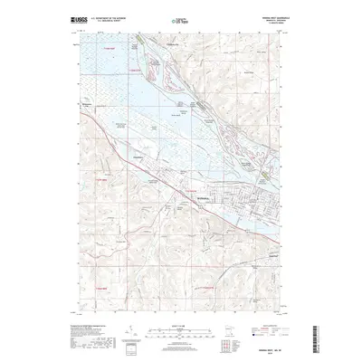
2019 Map of Winona West
USGS Topo · Published 2019About this map
The Mississippi River defines the complex geography of this border region, carving a wide valley filled with numerous numbered islands and intricate backwaters like Blackbird Slough and Crooked Slough. Along the western banks, the city of Winona sits on a significant plain between the river and the dramatic bluffs of Stockton Hill and Sugarloaf. This area is a major hub of education and transport, home to both St Marys Univ of Minnesota and Winona State Univ, while the CP Rail and Winona Municipal Airport-Max Conrad Field facilitate regional movement.
Find a feature on this map
140 named features on this map. Tap any name to fly to it.
Don’t see what you’re looking for? This feature index may not catch every label — zoom into the map to look around manually.
Map Details
Editions of this 2019 Winona West Map
This is the sole edition of this map. No revisions or reprints were ever made.
Other maps of this area

1929 · Fountain City
USGS Topo · 1:62,500

1932 · Cochrane
USGS Topo · 1:62,500

1934 · Winona
USGS Topo · 1:62,500

1934 · Cochrane
USGS Topo · 1:62,500

1937 · Winona
USGS Topo · 1:62,500

1937 · Cochrane
USGS Topo · 1:62,500

1953 · Eau Claire
USGS Topo · 1:250,000

1954 · Lewiston
USGS Topo · 1:62,500

1958 · Eau Claire
USGS Topo · 1:250,000

1958 · Houston
USGS Topo · 1:62,500