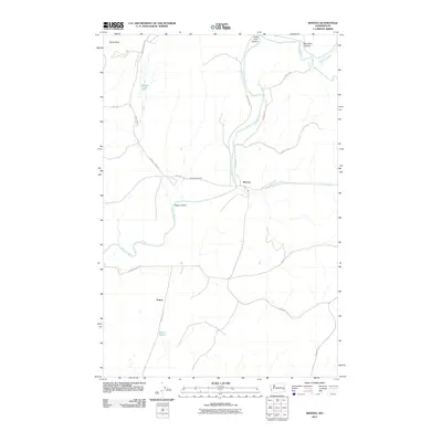
2011 Map of Winona
USGS Topo · Published 2011About this map
The Palouse River winds through this Whitman County landscape, carving a distinct path through the scablands and canyons of eastern Washington. The settlement of Winona serves as a central hub where the river meets Rebel Flat Creek, while the smaller locale of Sutton lies further south along the Winona South Rd. This survey documents a rural economy defined by wide draws and canyons, including Texas Draw, Little Cove Canyon, and Big Cove Canyon in the north. Local history and genealogy are anchored by the Winona Cemetery, situated just west of the main townsite. Water resources are prominent throughout the quadrangle, from the larger river system to smaller features like Johnson Lake, Sutton Pond, and Downing Creek. The network of backroads, such as Dynamite Jack Rd and Jim Knott Rd, connects these isolated homesteads and geographic landmarks.
Find a feature on this map
25 named features on this map. Tap any name to fly to it.
Don’t see what you’re looking for? This feature index may not catch every label — zoom into the map to look around manually.
Map Details
Editions of this 2011 Winona Map
This is the sole edition of this map. No revisions or reprints were ever made.
Other maps of this area

1950 · La Crosse
USGS Topo · 1:62,500

1950 · Endicott
USGS Topo · 1:62,500

1952 · La Crosse
USGS Topo · 1:62,500

1955 · Pullman
USGS Topo · 1:250,000

1955 · Spokane
USGS Topo · 1:250,000

1958 · Spokane
USGS Topo · 1:250,000

1958 · Pullman
USGS Topo · 1:250,000

1964 · Texas Lake
USGS Topo · 1:24,000

1964 · Revere
USGS Topo · 1:24,000

1964 · Ewan
USGS Topo · 1:24,000