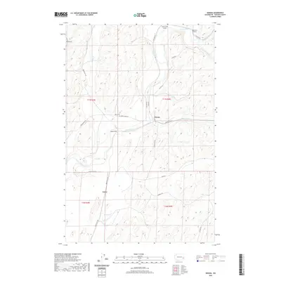
2020 Map of Winona
USGS Topo · Published 2020About this map
The Palouse River winds through the heart of Whitman County, defining the landscape around the small settlement of Winona. This region is characterized by a complex network of draws and canyons, including Texas Draw, Little Cove Canyon, and Big Cove Canyon, which showcase the distinctive drainage patterns of the Palouse. Agriculture and transport routes follow the natural contours of the land, with roads like Benge Winona Rd and Endicott W Hwy connecting the scattered communities.
Find a feature on this map
30 named features on this map. Tap any name to fly to it.
Don’t see what you’re looking for? This feature index may not catch every label — zoom into the map to look around manually.
Map Details
Editions of this 2020 Winona Map
This is the sole edition of this map. No revisions or reprints were ever made.
Other maps of this area

1950 · La Crosse
USGS Topo · 1:62,500

1950 · Endicott
USGS Topo · 1:62,500

1952 · La Crosse
USGS Topo · 1:62,500

1955 · Pullman
USGS Topo · 1:250,000

1955 · Spokane
USGS Topo · 1:250,000

1958 · Spokane
USGS Topo · 1:250,000

1958 · Pullman
USGS Topo · 1:250,000

1964 · Texas Lake
USGS Topo · 1:24,000

1964 · Revere
USGS Topo · 1:24,000

1964 · Ewan
USGS Topo · 1:24,000