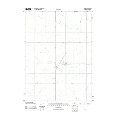
2011 Map of Winside
USGS Topo · Published 2011About this map
Winside serves as the central hub of this northeast Nebraska landscape, situated near the intersection of Main St and Crawford Ave. The village is anchored by the Winside Post Office and the nearby Pleasant View Cemetery to the southwest, illustrating the established footprint of this rural community. This area is defined by a dense grid of section roads like 852nd Rd and 568th Ave, which facilitate the region's agricultural movement.
Find a feature on this map
24 named features on this map. Tap any name to fly to it.
Don’t see what you’re looking for? This feature index may not catch every label — zoom into the map to look around manually.
Map Details
Editions of this 2011 Winside Map
This is the sole edition of this map. No revisions or reprints were ever made.
Other maps of this area

1955 · Sioux City
USGS Topo · 1:250,000

1958 · Sioux City
USGS Topo · 1:250,000

1959 · Sioux City
USGS Topo · 1:250,000

1963 · Hoskins
USGS Topo · 1:24,000

1963 · Pilger
USGS Topo · 1:24,000

1963 · Wayne SW
USGS Topo · 1:24,000

1963 · Winside
USGS Topo · 1:24,000

1963 · Norfolk NE
USGS Topo · 1:24,000

1963 · Wayne
USGS Topo · 1:24,000

1971 · Randolph South
USGS Topo · 1:24,000