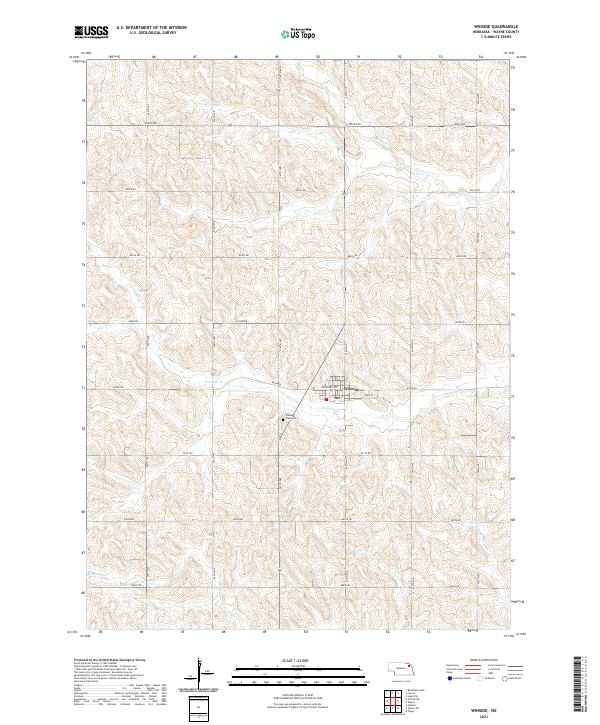
2021 Map of Winside
USGS Topo · Published 2021About this map
Winside sits at the intersection of Crawford Ave and Main St, serving as a centralized hub for the surrounding agricultural section lands of Wayne County. The village is well-drained by a network of local waterways, with the S Logan Cr passing directly south of the main settlement. To the southwest, the Pleasant View Cem provides a focal point for genealogical interest, situated on higher ground overlooking the creek valley. The terrain is defined by a dense grid of rural routes such as 852nd Rd and 569th Ave, which facilitate movement between the various branches of the deer and logan creek systems, including Chapin Cr and Humbug Cr. This layout reflects a modern continuation of the traditional township and range system, where local commerce is anchored by the central Po in the heart of the village.
Find a feature on this map
28 named features on this map. Tap any name to fly to it.
Don’t see what you’re looking for? This feature index may not catch every label — zoom into the map to look around manually.
Map Details
Editions of this 2021 Winside Map
This is the sole edition of this map. No revisions or reprints were ever made.
Other maps of this area

1955 · Sioux City
USGS Topo · 1:250,000

1958 · Sioux City
USGS Topo · 1:250,000

1959 · Sioux City
USGS Topo · 1:250,000

1963 · Hoskins
USGS Topo · 1:24,000

1963 · Pilger
USGS Topo · 1:24,000

1963 · Wayne SW
USGS Topo · 1:24,000

1963 · Winside
USGS Topo · 1:24,000

1963 · Norfolk NE
USGS Topo · 1:24,000

1963 · Wayne
USGS Topo · 1:24,000

1971 · Randolph South
USGS Topo · 1:24,000