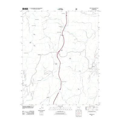
2011 Map of Winslow
USGS Topo · Published 2011About this map
Winslow anchors the eastern edge of this landscape, situated near the headwaters of the West Fork White River. The terrain is defined by a dense network of steep drainages, with the regional topography expressed through a series of named hollows such as Honey Hollow, Porter Hollow, and Filmore Parrish Hollow. These geographical features often share names with early residents or local industry, notably Coal Bank Hollow to the west.
Find a feature on this map
86 named features on this map. Tap any name to fly to it.
Don’t see what you’re looking for? This feature index may not catch every label — zoom into the map to look around manually.
Map Details
Editions of this 2011 Winslow Map
This is the sole edition of this map. No revisions or reprints were ever made.
Other maps of this area

1898 · Winslow #4
USGS Topo · 1:62,500

1898 · Winslow #3
USGS Topo · 1:62,500

1898 · Winslow
USGS Topo · 1:125,000

1901 · Winslow
USGS Topo · 1:125,000

1946 · Fort Smith
USGS Topo · 1:250,000

1965 · Fort Smith
USGS Topo · 1:250,000

1967 · Fort Smith
USGS Topo · 1:250,000
1969 · Fern
USGS Topo · 1:24,000
1969 · Mountainburg
USGS Topo · 1:24,000
1970 · Rudy NE
USGS Topo · 1:24,000