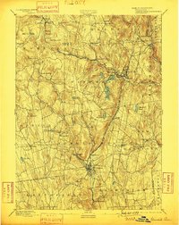
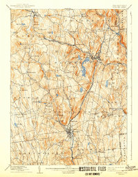
1892 Map of Winsted
USGS Topo · Published 1899About this map
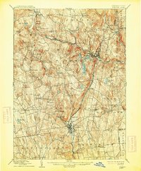
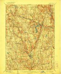
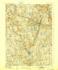
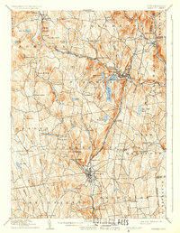
Winsted and Torrington serve as the primary industrial and commercial hubs in this late 19th-century study of Litchfield County. The landscape is defined by the sharp convergence of river valleys and rail infrastructure, most notably where the Central New England and Western Railroad traverses the northern hills through Norfolk and Colebrook Station. Further south, the New York New Haven and Hartford Railroad follows the Still River through Daytonville and Burrville, illustrating the era's reliance on narrow valley corridors for transit. High-altitude landmarks like Ivy Mountain and Dutton Mountain overlook a network of water bodies, including the prominent Highland Lake and the Burr Reservoir. Small, isolated settlements such as Robertsville, South Norfolk, and Bakerville are connected by a dense web of secondary roads, offering a detailed view of Connecticut’s rural upland townships before modern suburbanization.
Find a feature on this map
62 named features on this map. Tap any name to fly to it.
Don’t see what you’re looking for? This feature index may not catch every label — zoom into the map to look around manually.
Map Details
Editions of this 1892 Winsted Map
10 editions found
Other maps of this area

1885 · Sheffield
USGS Topo · 1:62,500

1887 · Granville
USGS Topo · 1:62,500

1888 · Sheffield
USGS Topo · 1:62,500

1888 · Sandisfield
USGS Topo · 1:62,500

1889 · Granville
USGS Topo · 1:62,500

1891 · Sheffield
USGS Topo · 1:62,500

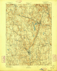
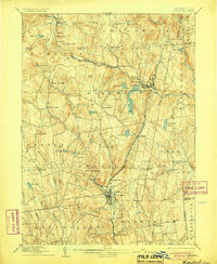
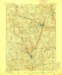
1892 · Winsted
USGS Topo · 1:62,500

1892 · Cornwall
USGS Topo · 1:62,500

1892 · New Milford
USGS Topo · 1:62,500

1892 · Meriden
USGS Topo · 1:62,500