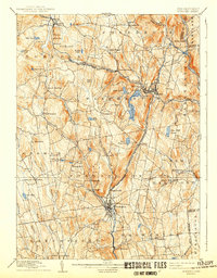
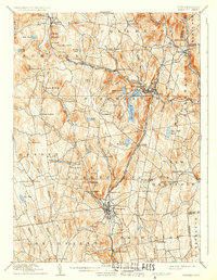
1892 Map of Winsted
USGS Topo · Published 1942About this map
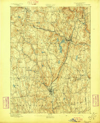
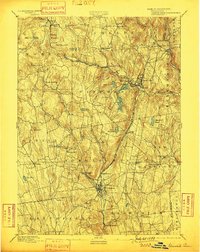
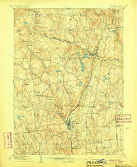
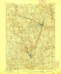
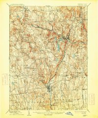
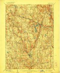
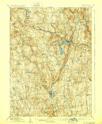
Winsted and West Winsted serve as the industrial anchors of this Litchfield County landscape, situated at the confluence of the Mad River and Still River. The area’s late-nineteenth-century development is defined by its strategic rail connections, with the Central New England and Western Railroad cutting across the northern hills through Colebrook Station and Norfolk. To the south, the New York New Haven and Hartford Railroad follows the Naugatuck River corridor, linking Torrington and Daytonville to the wider regional economy.
Find a feature on this map
74 named features on this map. Tap any name to fly to it.
Don’t see what you’re looking for? This feature index may not catch every label — zoom into the map to look around manually.
Map Details
Editions of this 1892 Winsted Map
10 editions found
Other maps of this area

1885 · Sheffield
USGS Topo · 1:62,500

1887 · Granville
USGS Topo · 1:62,500

1888 · Sheffield
USGS Topo · 1:62,500

1888 · Sandisfield
USGS Topo · 1:62,500

1889 · Granville
USGS Topo · 1:62,500

1891 · Sheffield
USGS Topo · 1:62,500

1892 · Winsted
USGS Topo · 1:62,500

1892 · Cornwall
USGS Topo · 1:62,500

1892 · New Milford
USGS Topo · 1:62,500

1892 · Meriden
USGS Topo · 1:62,500