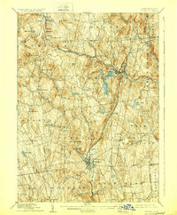
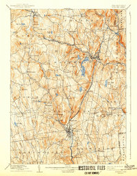
1892 Map of Winsted
USGS Topo · Published 1929About this map
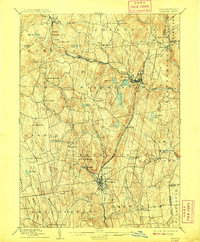
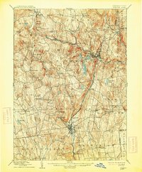
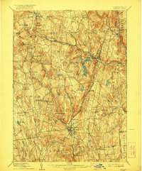
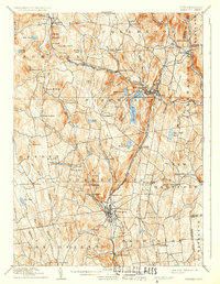
The industrial centers of Winsted and Torrington anchor this late nineteenth-century landscape, connected by the Naugatuck Division New York New Haven and Hartford Railroad. This rail line follows the narrow valley of the Naugatuck River, passing through smaller milling and manufacturing hubs like Daytonville and Wrightville. Further north, the Central New England and Western Railroad traverses the higher elevations through Norfolk and Summit, serving a terrain defined by substantial water bodies like Highland Lake and Burr Reservoir. The topography reveals the transition from the dense river-valley industry to the more agricultural and timber-oriented uplands of Colebrook and Goshen. Scattered throughout the hills are smaller nineteenth-century hamlets such as Bakersville, Riverton, and Maple Hollow, which highlight the era's reliance on smaller watercourses like the Mad River and Still River for local power and commerce.
Find a feature on this map
73 named features on this map. Tap any name to fly to it.
Don’t see what you’re looking for? This feature index may not catch every label — zoom into the map to look around manually.
Map Details
Editions of this 1892 Winsted Map
10 editions found
Other maps of this area

1885 · Sheffield
USGS Topo · 1:62,500

1887 · Granville
USGS Topo · 1:62,500

1888 · Sheffield
USGS Topo · 1:62,500

1888 · Sandisfield
USGS Topo · 1:62,500

1889 · Granville
USGS Topo · 1:62,500

1891 · Sheffield
USGS Topo · 1:62,500

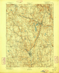
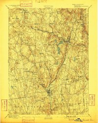
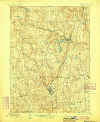
1892 · Winsted
USGS Topo · 1:62,500

1892 · Cornwall
USGS Topo · 1:62,500

1892 · New Milford
USGS Topo · 1:62,500

1892 · Meriden
USGS Topo · 1:62,500