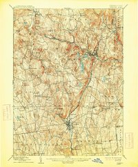
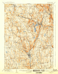
1892 Map of Winsted
USGS Topo · Published 1913About this map
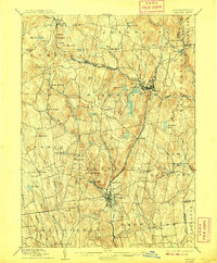
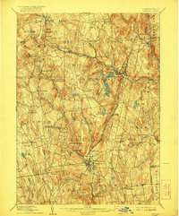
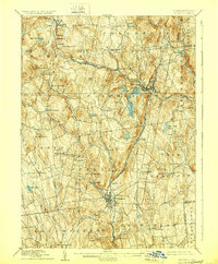
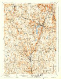
Industrial valleys and rugged hill towns define this late nineteenth-century corner of Litchfield County. The Winsted and Torrington settlements emerge as primary population centers, their growth driven by the Naugatuck River and the arrival of the New York New Haven and Hartford Railroad Naugatuck Division. To the north, the Central New England and Western Railroad traverses the highlands, serving smaller outposts like Colebrook Station and Grants. The landscape is a network of water-powered potential, from the expanse of Highland Lake to the controlled waters of Burr Reservoir. Beyond the factory towns, the map details established rural communities including Norfolk, Goshen, and Riverton, each connected by a dense web of early roads. The topography of Dutton Mountain and Ivy Mountain overlooks a region in the midst of its industrial prime, where river-valley manufacturing and upland agriculture coexisted before the advent of modern highways.
Find a feature on this map
72 named features on this map. Tap any name to fly to it.
Don’t see what you’re looking for? This feature index may not catch every label — zoom into the map to look around manually.
Map Details
Editions of this 1892 Winsted Map
10 editions found
Other maps of this area

1885 · Sheffield
USGS Topo · 1:62,500

1887 · Granville
USGS Topo · 1:62,500

1888 · Sheffield
USGS Topo · 1:62,500

1888 · Sandisfield
USGS Topo · 1:62,500

1889 · Granville
USGS Topo · 1:62,500

1891 · Sheffield
USGS Topo · 1:62,500

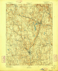
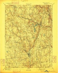
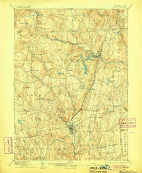
1892 · Winsted
USGS Topo · 1:62,500

1892 · Cornwall
USGS Topo · 1:62,500

1892 · New Milford
USGS Topo · 1:62,500

1892 · Meriden
USGS Topo · 1:62,500