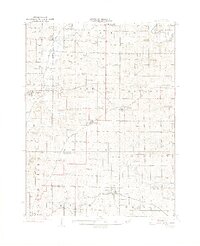
1924 Map of Winston
USGS Topo · Published 1924About this map
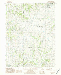
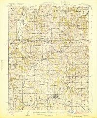
Winston serves as a central hub on this 1920s survey of Northwest Missouri, where the crossing lines of the Chicago Rock Island and Pacific and the Chicago Burlington and Quincy railroads shaped the local economy. The landscape is densely populated with small-town infrastructure, particularly an extensive network of rural schools like Bell Tower School, Island No 10 School, and Prairie Hill School. These structures, alongside country congregations at New Salem Church and Union Church, reflect the peak of the region's agrarian community life before the consolidation of the mid-20th century.
Find a feature on this map
81 named features on this map. Tap any name to fly to it.
Don’t see what you’re looking for? This feature index may not catch every label — zoom into the map to look around manually.
Map Details
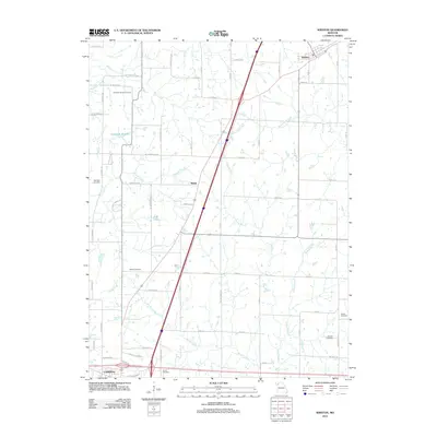
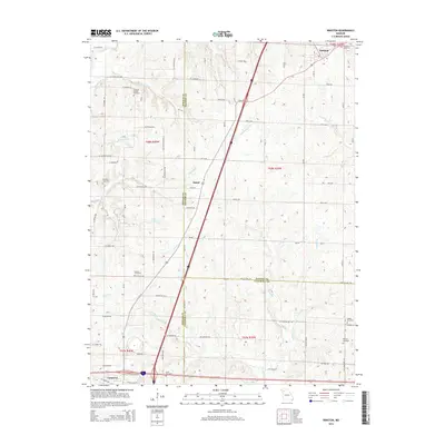
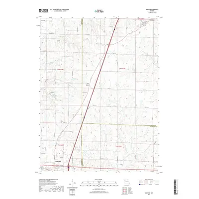
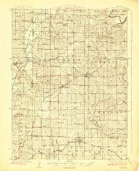
Editions of this 1924 Winston Map
3 editions found
Historical Maps of Cameron Through Time
6 maps found