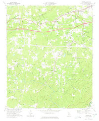
1973 Map of Winston
USGS Topo · Published 1975About this map
The Dog River and its numerous tributaries, including Mobley Creek and Yellow Rock Creek, dominate this rural Douglas County landscape during the early 1970s. The community of Bill Arp serves as a central point south of the Interstate 20 construction corridor, which is shown in progress across the northern half of the sheet. This era was one of transition, as new infrastructure began to bypass older established nodes like Winston and White City.
Find a feature on this map
57 named features on this map. Tap any name to fly to it.
Don’t see what you’re looking for? This feature index may not catch every label — zoom into the map to look around manually.
Map Details
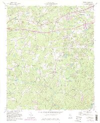
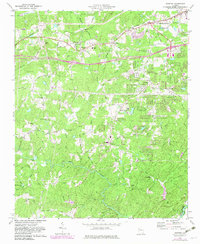
Editions of this 1973 Winston Map
3 editions found
Other maps of this area

1891 · Marietta
USGS Topo · 1:125,000

1895 · Marietta
USGS Topo · 1:125,000

1897 · Marietta
USGS Topo · 1:125,000

1901 · Marietta
USGS Topo · 1:125,000

1953 · Atlanta
USGS Topo · 1:250,000

1954 · Palmetto
USGS Topo · 1:24,000

1954 · Campbellton
USGS Topo · 1:24,000

1954 · Austell
USGS Topo · 1:24,000

1957 · Atlanta
USGS Topo · 1:250,000

1958 · Rico
USGS Topo · 1:24,000