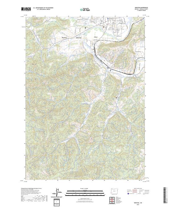
2023 Map of Winston
USGS Topo · Published 2023About this map
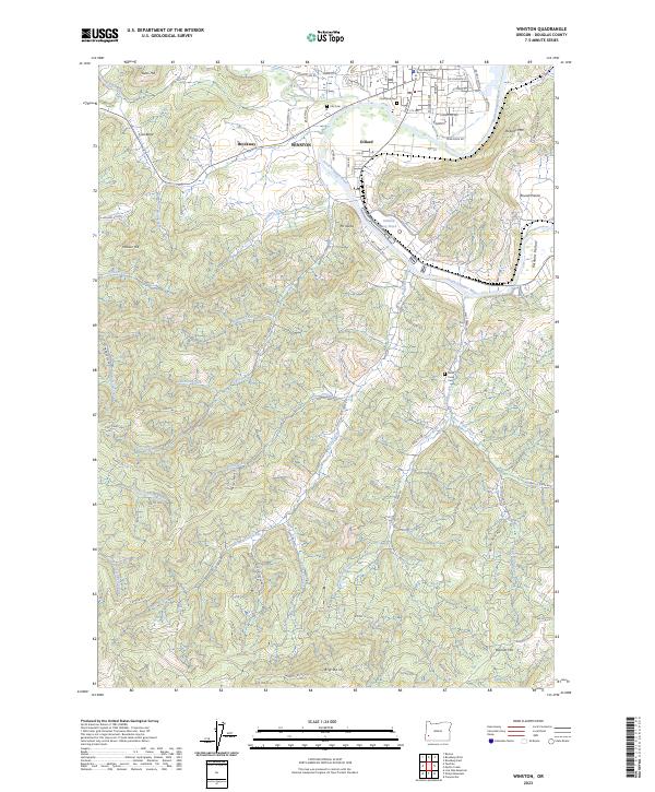
The South Umpqua River snakes through this Douglas County landscape, serving as a corridor for both settlement and industry near Winston. The community of Dillard is clearly defined by its relationship to the water and rail lines, anchored by the Dillard Log Pond, which highlights the area's long-standing connection to the timber economy. Several historic burying grounds, including Civil Bend Cem, Cox Cem, and Willis Creek Cem, provide essential anchor points for genealogists researching the families of Civil Bend and the surrounding river valley.
Find a feature on this map
76 named features on this map. Tap any name to fly to it.
Don’t see what you’re looking for? This feature index may not catch every label — zoom into the map to look around manually.
Map Details
Editions of this 2023 Winston Map
2 editions found
Other maps of this area

1897 · Roseburg
USGS Topo · 1:125,000

1900 · Roseburg
USGS Topo · 1:125,000

1904 · Riddle
USGS Topo · 1:125,000

1928 · Sitkum
USGS Topo · 1:125,000

1946 · Dutchman Butte
USGS Topo · 1:62,500

1948 · Dutchman Butte
USGS Topo · 1:62,500

1954 · Canyonville
USGS Topo · 1:62,500

1955 · Camas Valley
USGS Topo · 1:62,500

1955 · Roseburg
USGS Topo · 1:62,500

1955 · Medford
USGS Topo · 1:250,000