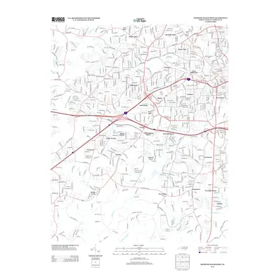
2013 Map of Winston-Salem West
USGS Topo · Published 2013About this map
The western suburbs of Winston-Salem are intricately documented in this 2013 survey, showcasing the dense residential expansion and established neighborhoods of Forsyth County. The landscape is defined by the winding paths of Silas Cr and Muddy Creek, which thread through communities such as Mount Tabor, Ardmore, and Jonestown. The map highlights significant local landmarks and institutional grounds, including the Methodist Childrens Home, Reynolda Village, and Reynolda Park.
Find a feature on this map
546 named features on this map. Tap any name to fly to it.
Don’t see what you’re looking for? This feature index may not catch every label — zoom into the map to look around manually.
Map Details
Editions of this 2013 Winston-Salem West Map
This is the sole edition of this map. No revisions or reprints were ever made.
Other maps of this area

1949 · Eller
USGS Topo · 1:24,000

1950 · Winston-Salem West
USGS Topo · 1:24,000

1950 · Winston-Salem East
USGS Topo · 1:24,000

1951 · Winston-Salem West
USGS Topo · 1:24,000

1951 · Winston-Salem East
USGS Topo · 1:24,000

1951 · Rural Hall
USGS Topo · 1:24,000

1951 · Walkertown
USGS Topo · 1:24,000

1953 · Charlotte
USGS Topo · 1:250,000

1953 · Winston-Salem
USGS Topo · 1:250,000

1954 · Charlotte
USGS Topo · 1:250,000