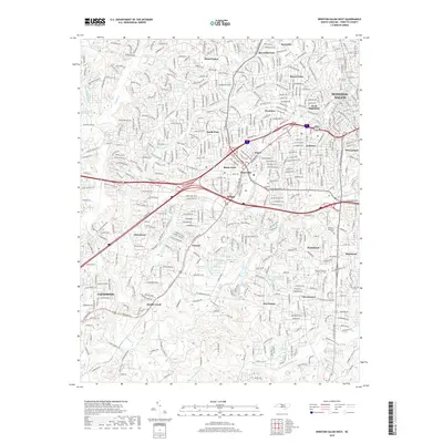
2019 Map of Winston-Salem West
USGS Topo · Published 2019About this map
Winston-Salem's western expansion and the neighboring village of Clemmons are captured here as a landscape of established neighborhoods and major transportation corridors. The map reflects a highly developed suburban and urban environment where historic community names like Mount Tabor, Buena Vista, and Ardmore persist alongside modern infrastructure. Religious and commemorative history is evidenced by the Adventist Moravian God's Acre Cem and Parklawn Memorial Park, providing valuable reference points for genealogists. The drainage patterns of Muddy Creek and Salem Creek still define the lower elevations, while institutional landmarks such as Jefferson Elementary and local gathering spots like Hobby Park anchor the residential zones. This survey documents the area's transition from the industrial legacy of Hanes to a sprawling residential and commercial hub.
Find a feature on this map
66 named features on this map. Tap any name to fly to it.
Don’t see what you’re looking for? This feature index may not catch every label — zoom into the map to look around manually.
Map Details
Editions of this 2019 Winston-Salem West Map
This is the sole edition of this map. No revisions or reprints were ever made.
Other maps of this area

1949 · Eller
USGS Topo · 1:24,000

1950 · Winston-Salem West
USGS Topo · 1:24,000

1950 · Winston-Salem East
USGS Topo · 1:24,000

1951 · Winston-Salem West
USGS Topo · 1:24,000

1951 · Winston-Salem East
USGS Topo · 1:24,000

1951 · Rural Hall
USGS Topo · 1:24,000

1951 · Walkertown
USGS Topo · 1:24,000

1953 · Charlotte
USGS Topo · 1:250,000

1953 · Winston-Salem
USGS Topo · 1:250,000

1954 · Charlotte
USGS Topo · 1:250,000