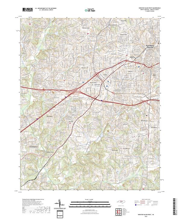
2022 Map of Winston-Salem West
USGS Topo · Published 2022About this map
Winston-Salem and its western suburbs are intricately mapped in this 2022 survey, showcasing the dense residential and educational landscape of Forsyth County. The map details established neighborhoods such as Mount Tabor, Buena Vista, and Ardmore, which surround the city center and the West Salem district. Cultural and institutional landmarks are prominent, including the Forsyth Technical Community College campuses and the Advents Moravian God's Acre Cem. The terrain is defined by the winding paths of Muddy Creek and Salem Creek, which weave through the suburban fabric near settlements like Jonestown and Clemmons. Modern transportation corridors, specifically Interstate 40 and Silas Creek Pkwy, intersect the map, illustrating how historical communities like Swaimtown and Five Points have integrated into the expanding Winston-Salem metropolitan area.
Find a feature on this map
47 named features on this map. Tap any name to fly to it.
Don’t see what you’re looking for? This feature index may not catch every label — zoom into the map to look around manually.
Map Details
Editions of this 2022 Winston-Salem West Map
This is the sole edition of this map. No revisions or reprints were ever made.
Other maps of this area

1949 · Eller
USGS Topo · 1:24,000

1950 · Winston-Salem West
USGS Topo · 1:24,000

1950 · Winston-Salem East
USGS Topo · 1:24,000

1951 · Winston-Salem West
USGS Topo · 1:24,000

1951 · Winston-Salem East
USGS Topo · 1:24,000

1951 · Rural Hall
USGS Topo · 1:24,000

1951 · Walkertown
USGS Topo · 1:24,000

1953 · Charlotte
USGS Topo · 1:250,000

1953 · Winston-Salem
USGS Topo · 1:250,000

1954 · Charlotte
USGS Topo · 1:250,000