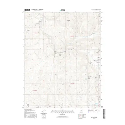
2017 Map of Wirt Canyon
USGS Topo · Published 2017About this map
The Navajo River cuts through the northern reach of this Rio Arriba County landscape, where the high elevations of Mt Archuleta and Archuleta Mesa define the northern border. Small settlements like Navajo and Dulce are tucked into the drainages, connected by local routes such as Narrow Gauge St and Rodeo Rd. The map reveals a deeply etched topography of named canyons, including Wirt Canyon, Sawmill Canyon, and Carracas Canyon, reflecting a terrain shaped by water and time.
Find a feature on this map
43 named features on this map. Tap any name to fly to it.
Don’t see what you’re looking for? This feature index may not catch every label — zoom into the map to look around manually.
Map Details
Editions of this 2017 Wirt Canyon Map
This is the sole edition of this map. No revisions or reprints were ever made.
Other maps of this area

1889 · Largo
USGS Topo · 1:250,000

1895 · Largo
USGS Topo · 1:250,000

1913 · Summitville
USGS Topo · 1:125,000

1915 · Summitville
USGS Topo · 1:125,000

1924 · Pagosa Springs
USGS Topo · 1:125,000

1927 · Pagosa Springs
USGS Topo · 1:125,000

1945 · Durango
USGS Topo · 1:250,000

1953 · Durango
USGS Topo · 1:250,000

1954 · Durango
USGS Topo · 1:250,000

1954 · Aztec
USGS Topo · 1:250,000