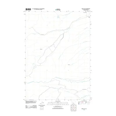
2012 Map of Wise Flat
USGS Topo · Published 2012About this map
Wise Flat and the surrounding drainages of the Wind River Range are documented in this 2012 survey of Fremont County. The map provides a detailed view of the high-altitude hydrology where Timmoco Cr and the N Fork Little Wind River flow through the southern portion of the quadrangle. Transportation into this backcountry area is defined by primitive routes such as Washakie Park Rd and the Saint Lawrence Ranger Station Rd, which follow the contours of the land rather than a grid. Notable geographic landmarks include the prominent Norkok Butte in the northeast and the wide depression of Red Basin. The intricate network of seasonal and perennial streams, including Pevah Cr and Norkok Meadows Cr, illustrates the complex watershed that feeds the larger Wind River system during the spring snowmelt.
Find a feature on this map
16 named features on this map. Tap any name to fly to it.
Don’t see what you’re looking for? This feature index may not catch every label — zoom into the map to look around manually.
Map Details
Editions of this 2012 Wise Flat Map
This is the sole edition of this map. No revisions or reprints were ever made.
Other maps of this area

1937 · Moccasin Lake
USGS Topo · 1:48,000

1943 · Moccasin Lake
USGS Topo · 1:62,500

1951 · Fort Washakie
USGS Topo · 1:24,000

1951 · Bull Lake East
USGS Topo · 1:24,000

1951 · Argo Butte
USGS Topo · 1:24,000

1952 · Wise Flat
USGS Topo · 1:24,000

1952 · Wind River
USGS Topo · 1:24,000

1952 · Bull Lake West
USGS Topo · 1:24,000

1952 · St. Lawrence Basin
USGS Topo · 1:24,000

1955 · Thermopolis
USGS Topo · 1:250,000