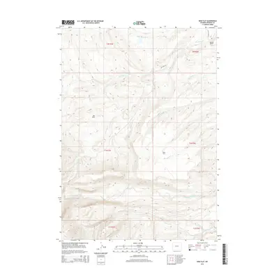
2015 Map of Wise Flat
USGS Topo · Published 2015About this map
Wise Flat and the surrounding high country of Fremont County are defined by a complex drainage system that flows through this portion of the Wind River Basin. The landscape transitions from the open expanse of Red Basin toward prominent landmarks like Norkok Butte. Water is the primary architect of this terrain, with the North Fork Little Wind River and South Fork Little Wind River cutting through the southern sections. This 2015 survey reveals a wilderness mostly untouched by major development, with Sage Creek Rd providing one of the few managed access points into the network of seasonal streams including Pevah Cr and Norkok Meadows Cr. The map captures a high-elevation environment where the public land survey system grid overlays a geography of deep creek beds and wide, flat basins characteristic of the Wyoming interior.
Find a feature on this map
19 named features on this map. Tap any name to fly to it.
Don’t see what you’re looking for? This feature index may not catch every label — zoom into the map to look around manually.
Map Details
Editions of this 2015 Wise Flat Map
This is the sole edition of this map. No revisions or reprints were ever made.
Other maps of this area

1937 · Moccasin Lake
USGS Topo · 1:48,000

1943 · Moccasin Lake
USGS Topo · 1:62,500

1951 · Fort Washakie
USGS Topo · 1:24,000

1951 · Bull Lake East
USGS Topo · 1:24,000

1951 · Argo Butte
USGS Topo · 1:24,000

1952 · Wise Flat
USGS Topo · 1:24,000

1952 · Wind River
USGS Topo · 1:24,000

1952 · Bull Lake West
USGS Topo · 1:24,000

1952 · St. Lawrence Basin
USGS Topo · 1:24,000

1955 · Thermopolis
USGS Topo · 1:250,000