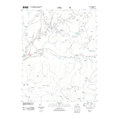
2011 Map of Wise
USGS Topo · Published 2011About this map
Wise serves as a central hub in this Appalachian landscape, where the University of Virginia College Wise Campus stands as a prominent institution. The surrounding terrain is defined by a dense network of mountain ridges and narrow valleys, such as The Nettle Patch and Eagle Knob. Water management is evident through the Bear Creek Dam and Bear Creek Reservoir, while the Guest River and its many tributaries, including Machine Creek and Burns Creek, carve through the high country. Numerous family-named burial grounds like Stallard Cemetery and Skeen Cemetery are scattered throughout the hills, providing a detailed record of local genealogy. To the south, industrial and recreational landmarks such as the Eagle Rock Electrical Complex and Intermont Girl Scout Camp punctuate the more remote reaches of the county.
Find a feature on this map
118 named features on this map. Tap any name to fly to it.
Don’t see what you’re looking for? This feature index may not catch every label — zoom into the map to look around manually.
Map Details
Editions of this 2011 Wise Map
This is the sole edition of this map. No revisions or reprints were ever made.
Other maps of this area

1886 · Grundy
USGS Topo · 1:125,000

1890 · Whitesburg
USGS Topo · 1:125,000

1890 · Grundy
USGS Topo · 1:125,000

1892 · Grundy
USGS Topo · 1:125,000

1892 · Whitesburg
USGS Topo · 1:125,000

1894 · Estillville
USGS Topo · 1:125,000

1897 · Bristol
USGS Topo · 1:125,000

1902 · Bristol
USGS Topo · 1:125,000

1912 · Pound
USGS Topo · 1:48,000

1913 · Clintwood
USGS Topo · 1:62,500