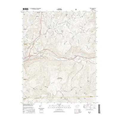
2016 Map of Wise
USGS Topo · Published 2016About this map
The Univ of Virginia's Coll at Wise serves as a central landmark for this part of the Appalachian plateau, where the landscape transitions from the developed corridors of Wise and Norton into the protected acreage of the Jefferson National Forest. This 2016 survey documents the complex topography of the Tennessee Valley Divide, with numerous drainages like Sepulcher Cr and Guest River carving through the high ridges. The map reveals a dense network of family-named cemeteries such as Glamorgan Cem, Hillman Cem, and Stallard Cem, providing a deep genealogical record of the region’s long-standing residents.
Find a feature on this map
200 named features on this map. Tap any name to fly to it.
Don’t see what you’re looking for? This feature index may not catch every label — zoom into the map to look around manually.
Map Details
Editions of this 2016 Wise Map
This is the sole edition of this map. No revisions or reprints were ever made.
Other maps of this area

1886 · Grundy
USGS Topo · 1:125,000

1890 · Whitesburg
USGS Topo · 1:125,000

1890 · Grundy
USGS Topo · 1:125,000

1892 · Grundy
USGS Topo · 1:125,000

1892 · Whitesburg
USGS Topo · 1:125,000

1894 · Estillville
USGS Topo · 1:125,000

1897 · Bristol
USGS Topo · 1:125,000

1902 · Bristol
USGS Topo · 1:125,000

1912 · Pound
USGS Topo · 1:48,000

1913 · Clintwood
USGS Topo · 1:62,500