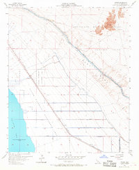
1956 Map of Wister
USGS Topo · Published 1968About this map
The Salton Sea shoreline dominates the western edge of this 1950s landscape, sitting 235 feet below sea level. This Imperial County territory is defined by the sharp contrast between engineered irrigation and military exclusion zones. The Southern Pacific railroad corridor serves as the primary spine for development, passing through small rail sidings and settlements like Wister, Mundo, and Iris. To the east, the intensive network of the Coachella Canal and various Niland laterals, such as Niland Lateral 5, demonstrate the mid-century effort to reclaim the desert for agriculture and conservation.
Find a feature on this map
25 named features on this map. Tap any name to fly to it.
Don’t see what you’re looking for? This feature index may not catch every label — zoom into the map to look around manually.
Map Details
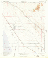
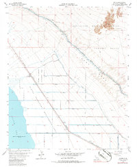
Editions of this 1956 Wister Map
3 editions found
Other maps of this area

1940 · Iris
USGS Topo · 1:62,500

1940 · Frink
USGS Topo · 1:62,500

1940 · Iris Pass
USGS Topo · 1:62,500

1944 · Calipatria
USGS Topo · 1:62,500

1944 · Frink
USGS Topo · 1:62,500

1945 · Iris Pass
USGS Topo · 1:62,500

1945 · Iris
USGS Topo · 1:62,500

1954 · Salton Sea
USGS Topo · 1:250,000

1955 · Salton Sea
USGS Topo · 1:250,000

1956 · Frink NW
USGS Topo · 1:24,000