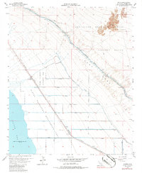
1956 Map of Wister
USGS Topo · Published 1986About this map
The Salton Sea shoreline dominates the western edge of this Imperial County landscape, sitting 235 feet below sea level as of mid-century. This desert basin is a study in managed water and military usage, defined by the irrigation network of the Coachella Canal and East Highline Canal, alongside numerous laterals like Niland Lateral 5. The Southern Pacific railroad cuts a diagonal line across the terrain, connecting the small stop of Wister with Mundo and Iris. Much of the eastern landscape is dedicated to the Chocolate Mountain Aerial Gunnery Range, its extent marked by a formal Naval Reservation Boundary. Between the military lands and the sea, the Wister Waterfowl Management Area preserves a critical habitat within the East Mesa, showing how the arid environment was partitioned for conservation, agriculture, and defense.
Find a feature on this map
25 named features on this map. Tap any name to fly to it.
Don’t see what you’re looking for? This feature index may not catch every label — zoom into the map to look around manually.
Map Details
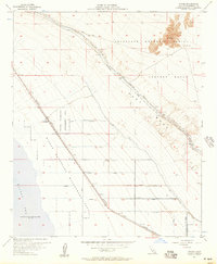
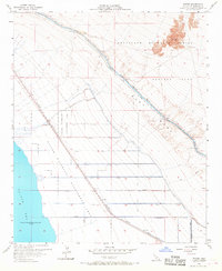
Editions of this 1956 Wister Map
3 editions found
Other maps of this area

1940 · Iris
USGS Topo · 1:62,500

1940 · Frink
USGS Topo · 1:62,500

1940 · Iris Pass
USGS Topo · 1:62,500

1944 · Calipatria
USGS Topo · 1:62,500

1944 · Frink
USGS Topo · 1:62,500

1945 · Iris Pass
USGS Topo · 1:62,500

1945 · Iris
USGS Topo · 1:62,500

1954 · Salton Sea
USGS Topo · 1:250,000

1955 · Salton Sea
USGS Topo · 1:250,000

1956 · Frink NW
USGS Topo · 1:24,000