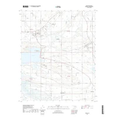
2018 Map of Wister
USGS Topo · Published 2018About this map
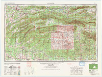
Wister Lake and the Poteau River dominate this portion of Le Flore County, where the landscape transitions from flat valley bottoms to the prominent rises of Potts Mtn and Pine Mtn. The town of Wister serves as a local hub, with its street grid including Magnolia Ave and Pearl St situated just west of the river. To the east, the community of Howe is established near the wetlands of Shadwick Lake, while smaller settlements like Glendale, Independence, and Cavanal dot the surrounding countryside.
Find a feature on this map
118 named features on this map. Tap any name to fly to it.
Don’t see what you’re looking for? This feature index may not catch every label — zoom into the map to look around manually.
Map Details
Editions of this 2018 Wister Map
This is the sole edition of this map. No revisions or reprints were ever made.
Other maps of this area
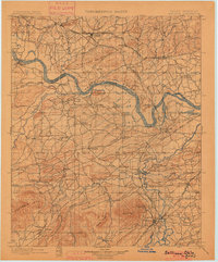
1900 · Sallisaw
USGS Topo · 1:125,000
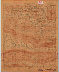
1900 · Winding Stair
USGS Topo · 1:125,000
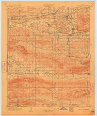
1909 · Winding Stair
USGS Topo · 1:125,000
1911 · Sallisaw
USGS Topo · 1:125,000

1946 · Fort Smith
USGS Topo · 1:250,000

1950 · Mcalester
USGS Topo · 1:250,000
1959 · Heavener
USGS Topo · 1:62,500
1962 · McAlester
USGS Topo · 1:250,000
1965 · Fort Smith
USGS Topo · 1:250,000
1965 · McAlester
USGS Topo · 1:250,000