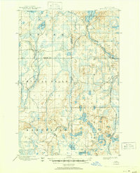
1899 Map of Witbeck
USGS Topo · Published 1950About this map
The Michigamme River and its various tributaries define the landscape of the Michigan Upper Peninsula in the late 19th century, serving as a primary corridor through Baraga, Iron, and Marquette counties. This reconnaissance survey, conducted between 1891 and 1896, captures a remote wilderness territory dominated by glacial lakes and winding waterways. The small settlement of Witbeck sits as a lone outpost along the Chicago and Milwaukee St. Paul R. R., highlighting the critical role of rail infrastructure in connecting these isolated northern timber and mining lands to broader markets.
Find a feature on this map
24 named features on this map. Tap any name to fly to it.
Don’t see what you’re looking for? This feature index may not catch every label — zoom into the map to look around manually.
Map Details
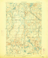
Editions of this 1899 Witbeck Map
3 editions found
Other maps of this area

1895 · Ned Lake
USGS Topo · 1:62,500

1899 · Sagola
USGS Topo · 1:62,500

1899 · Witbeck
USGS Topo · 1:62,500

1899 · Crystal Falls
USGS Topo · 1:62,500

1945 · Kelso Junction
USGS Topo · 1:24,000

1947 · Kiernan
USGS Topo · 1:24,000

1947 · Kelso Junction
USGS Topo · 1:24,000

1955 · Champion
USGS Topo · 1:24,000

1955 · Witch Lake
USGS Topo · 1:24,000

1955 · Ralph NW
USGS Topo · 1:24,000