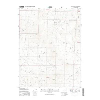
2016 Map of Witcher Mountain
USGS Topo · Published 2016About this map
Pike National Forest covers the northern portion of this Park County terrain, where numerous peaks and mountain passes define the local geography. High-elevation drainage networks are anchored by Fish Cr, W Fourmile Cr, and Cottonwood Cr, which carve through the landscape between major summits like Saddle Mtn and Witcher Mountain. The map details a complex system of mountain roads and trails, including Stagecoach Rd and Pike Trl, reflecting the area's development for residential access and recreation. Local history is marked by features like Ranger Station Gulch and named passes such as Castle Mountain Pass. The survey also documents family-named landmarks like Mcintyre Mtn and Bumgarner Cr, providing a clear view of the mountain topography and named gulches that characterize this part of the Colorado front range.
Find a feature on this map
73 named features on this map. Tap any name to fly to it.
Don’t see what you’re looking for? This feature index may not catch every label — zoom into the map to look around manually.
Map Details
Editions of this 2016 Witcher Mountain Map
This is the sole edition of this map. No revisions or reprints were ever made.
Other maps of this area

1894 · Pikes Peak
USGS Topo · 1:125,000

1901 · Pikes Peak
USGS Topo · 1:125,000

1942 · Cover Mtn.
USGS Topo · 1:62,500

1948 · Cover Mtn.
USGS Topo · 1:62,500

1954 · Pueblo
USGS Topo · 1:250,000

1956 · Lake George
USGS Topo · 1:24,000

1956 · Elevenmile Canyon
USGS Topo · 1:24,000

1956 · Spinney Mountain
USGS Topo · 1:24,000

1957 · Pueblo
USGS Topo · 1:250,000

1958 · Pueblo
USGS Topo · 1:250,000