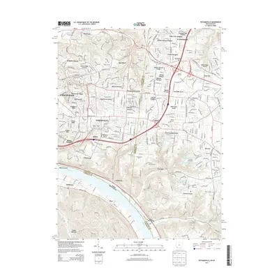
2013 Map of Withamsville
USGS Topo · Published 2013About this map
The Ohio River forms a massive sweeping bend at the southwest corner of this map, marking the border between Ohio and Kentucky. The landscape north of the river is a dense suburban fabric of late 20th-century residential developments, including Turpin Hills, Lawyerdale Estates, and Britney Acres. This area exhibits a complex network of residential streets that contrast with the older, more linear corridors like Batavia Pike.
Find a feature on this map
328 named features on this map. Tap any name to fly to it.
Don’t see what you’re looking for? This feature index may not catch every label — zoom into the map to look around manually.
Map Details
Editions of this 2013 Withamsville Map
This is the sole edition of this map. No revisions or reprints were ever made.
Other maps of this area

1898 · East Cincinnati
USGS Topo · 1:62,500

1914 · East Cincinnati
USGS Topo · 1:62,500

1914 · Batavia
USGS Topo · 1:48,000

1916 · Batavia
USGS Topo · 1:62,500

1929 · Alexandria
USGS Topo · 1:48,000

1931 · Felicity
USGS Topo · 1:62,500

1936 · Alexandria
USGS Topo · 1:62,500

1952 · Newport
USGS Topo · 1:24,000

1953 · Laurel
USGS Topo · 1:24,000

1953 · Withamsville
USGS Topo · 1:24,000