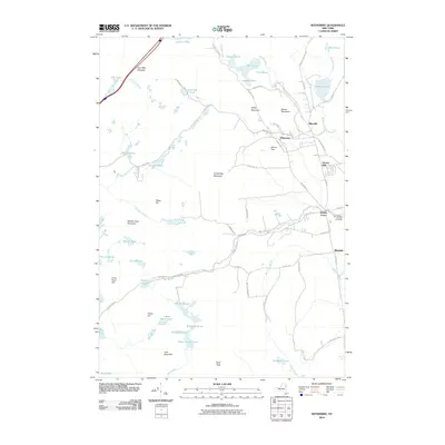
2010 Map of Witherbee
USGS Topo · Published 2010About this map
Adirondack Park lands define the character of this Eastern Adirondack landscape, where the iron-rich history of the region is written into the settlement patterns of Mineville and Witherbee. The terrain is a complex arrangement of summits and water bodies, ranging from the high points of Belfry Mountain and Armstrong Mountain to the clustered waters of Lincoln Pond and Ensign Pond. Local road networks like Fisher Hill Rd and Dalton Hill Rd connect these industrial-origin hamlets, tracing the routes between residential pockets and the surrounding forest.
Find a feature on this map
74 named features on this map. Tap any name to fly to it.
Don’t see what you’re looking for? This feature index may not catch every label — zoom into the map to look around manually.
Map Details
Editions of this 2010 Witherbee Map
This is the sole edition of this map. No revisions or reprints were ever made.
Other maps of this area

1894 · Elizabethtown
USGS Topo · 1:62,500

1894 · Port Henry
USGS Topo · 1:62,500

1894 · Ticonderoga
USGS Topo · 1:62,500

1895 · Elizabethtown
USGS Topo · 1:62,500

1895 · Paradox Lake
USGS Topo · 1:62,500

1896 · Ticonderoga
USGS Topo · 1:62,500

1897 · Paradox Lake
USGS Topo · 1:62,500

1898 · Port Henry
USGS Topo · 1:62,500

1901 · Elizabethtown
USGS Topo · 1:62,500

1902 · Ticonderoga
USGS Topo · 1:62,500