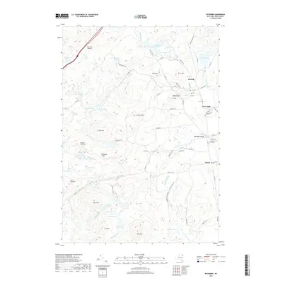
2019 Map of Witherbee
USGS Topo · Published 2019About this map
Mineville and Witherbee anchor the northeastern portion of this survey, reflecting the area's deep ties to the mineral industry of Essex County. These settlements are positioned among prominent peaks such as Barton Mtn and Mt Tom, where local infrastructure like Barton Hill Rd and Dynamite Ln snakes through the high-elevation landscape. The topography transitions from these centers of human activity into the protected wilderness of the Adirondack Park, where a dense network of water bodies includes Hatching Pond, Newport Pond, and the secluded Upper Feeder Pond.
Find a feature on this map
82 named features on this map. Tap any name to fly to it.
Don’t see what you’re looking for? This feature index may not catch every label — zoom into the map to look around manually.
Map Details
Editions of this 2019 Witherbee Map
This is the sole edition of this map. No revisions or reprints were ever made.
Other maps of this area

1894 · Elizabethtown
USGS Topo · 1:62,500

1894 · Port Henry
USGS Topo · 1:62,500

1894 · Ticonderoga
USGS Topo · 1:62,500

1895 · Elizabethtown
USGS Topo · 1:62,500

1895 · Paradox Lake
USGS Topo · 1:62,500

1896 · Ticonderoga
USGS Topo · 1:62,500

1897 · Paradox Lake
USGS Topo · 1:62,500

1898 · Port Henry
USGS Topo · 1:62,500

1901 · Elizabethtown
USGS Topo · 1:62,500

1902 · Ticonderoga
USGS Topo · 1:62,500