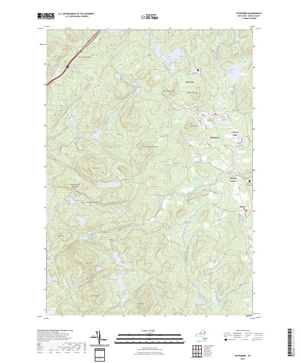
2023 Map of Witherbee
USGS Topo · Published 2023About this map
Mineville and Witherbee anchor the northern landscape of this Essex County region, reflecting a cluster of settlements defined by the local topography and historical industrial ties. The area is characterized by significant vertical relief, with Belfry Mountain and Barton Mountain rising above the residential pockets of Grover Hills and Moriah Center. These communities are threaded together by a network of winding roads like Co HWY 6 and Furnace Rd, which navigate the complex terrain of the Adirondack Park.
Find a feature on this map
84 named features on this map. Tap any name to fly to it.
Don’t see what you’re looking for? This feature index may not catch every label — zoom into the map to look around manually.
Map Details
Editions of this 2023 Witherbee Map
This is the sole edition of this map. No revisions or reprints were ever made.
Other maps of this area

1894 · Elizabethtown
USGS Topo · 1:62,500

1894 · Port Henry
USGS Topo · 1:62,500

1894 · Ticonderoga
USGS Topo · 1:62,500

1895 · Elizabethtown
USGS Topo · 1:62,500

1895 · Paradox Lake
USGS Topo · 1:62,500

1896 · Ticonderoga
USGS Topo · 1:62,500

1897 · Paradox Lake
USGS Topo · 1:62,500

1898 · Port Henry
USGS Topo · 1:62,500

1901 · Elizabethtown
USGS Topo · 1:62,500

1902 · Ticonderoga
USGS Topo · 1:62,500