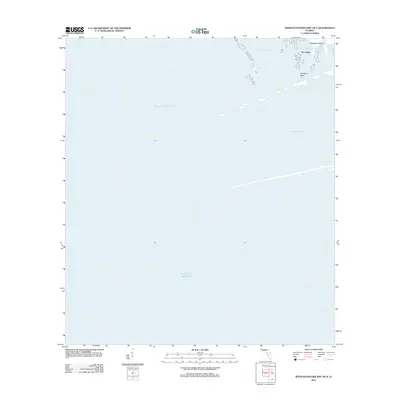
2012 Map of Withlacoochee Bay OE S
USGS Topo · Published 2012About this map
Withlacoochee Bay meets the open Gulf of Mexico in this coastal survey, where the river's outlet forms a complex network of islands and shifting water channels. The landscape is defined by its transition from the Floridian mainland into the gulf, featuring notable landmarks like Chambers Island and the isolated Deadman Key. This area represents the maritime gateway for the region, anchored by the geographic point of Port Inglis. The map documents the intricate hydrography of the Nature Coast, including smaller navigable passages such as Bungalow Pass and Doghead Gap, providing a precise look at the shoreline and submerged features before any modern coastal modifications or sea-level shifts.
Find a feature on this map
7 named features on this map. Tap any name to fly to it.
Don’t see what you’re looking for? This feature index may not catch every label — zoom into the map to look around manually.
Map Details
Editions of this 2012 Withlacoochee Bay OE S Map
This is the sole edition of this map. No revisions or reprints were ever made.
Other maps of this area

1954 · Red Level
USGS Topo · 1:24,000

1954 · Ozello
USGS Topo · 1:24,000

1954 · Gainesville
USGS Topo · 1:250,000

1955 · Withlacoochee Bay
USGS Topo · 1:24,000

1955 · Yankeetown
USGS Topo · 1:24,000

1955 · Plant City
USGS Topo · 1:250,000

1958 · Plant City
USGS Topo · 1:250,000

1958 · Gainesville
USGS Topo · 1:250,000

1959 · Plant City
USGS Topo · 1:250,000

1959 · Gainesville
USGS Topo · 1:250,000